


Aquatic Insects
Fish of the Month: Year 11
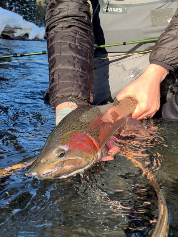
As it is the afternoon of December 31, I am closing the year with my annual fish-of-the-month blog, this one at the end of my 11th year of catching a fish in my home waters in each month of the year. To spare you the math, that’s 132 consecutive months of catching a wild trout or whitefish (and in some years I’ve fair-caught suckers and shiners, too) within a three-hour drive of my home in