Henry’s Fork Aquatic Invertebrate Trends, 2015-2025

Home » Blog » Henry’s Fork Aquatic Invertebrate Trends, 2015-2025
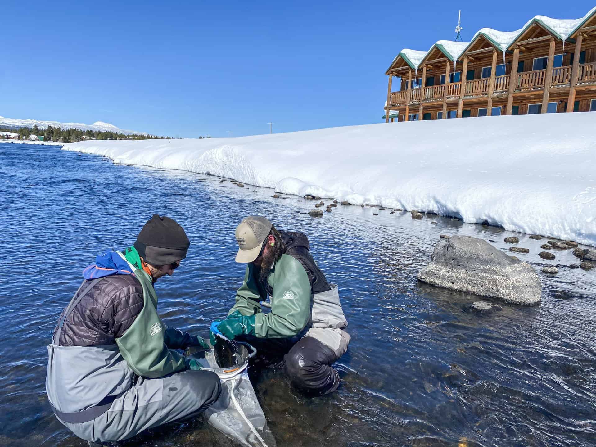
2 people in gear taking water samples

To address angler concerns about decreased hatches, particularly at Last Chance and the upper Ranch, and holistically assess ecological function throughout the mainstem Henry’s Fork, we implemented a statistically rigorous, quantitative study of aquatic invertebrates in 2015. This followed implementation of a watershed-wide water-quality monitoring program in 2014 and prompted subsequent expansion of stream gaging. After our 11th year of sampling in 2025, we had a set of 56 independent observations of macroinvertebrates collected at six different sites on the river over an 11-year period, each accompanied by a full suite of water-quality and streamflow variables. The sites—Flat Rock, Last Chance, Osborne Bridge, Marysville, Ashton Dam, and St. Anthony—represent conditions over the 80 miles of river most popular among anglers.

We analyzed invertebrate abundance, five standard community metrics—Shannon’s diversity, EPT taxa richness (the number of mayfly, stonefly, and caddisfly species), Hilsenhoff Biotic Index (HBI), percent non-insects, and percent EPT—as well as the abundance of Pale Morning Duns (Ephemerella sp.), Drunella mayflies (Flavs + Green Drakes), and Spotted Sedge caddis (Hydropsychidae). For each of these response variables, we tested for dependence on distance downstream from Big Springs as predicted by the River Continuum Concept, difference across sites independent of the river continuum, and dependence on seven streamflow and water-quality variables: annual streamflow, 3-day maximum streamflow, 21-day minimum streamflow, annual flow variability, suspended sediment concentration, conductivity, 7-day maximum water temperature, and total phosphorus.

Through 2025, our primary conclusions are:

  1. Invertebrate communities in the Henry’s Fork are abundant, diverse, and dominated by mayflies, stoneflies and caddisflies; are as good or better than on other western trout streams; and are as good or better than they were on the Henry’s Fork decades ago. HBI indicates good to excellent water quality from headwaters to St. Anthony, with little evidence of pollutants.
  2. Abundance and %non-insects showed no variability across location along the river and no dependence on any of the streamflow or water quality variables.
  3. The other seven responses were best explained by location on the river, with little to no dependence on streamflow or water quality, after accounting for location.
  4. Total invertebrate abundance and Pale Morning Dun abundance have decreased significantly since 2015, with marginal evidence for decreases in %non-insects and community diversity.
  5. However, HBI, %EPT, and EPT taxa richness have all improved significantly since 2015, indicating overall improvement in water quality and aquatic habitat and possible replacement of non-insect and other degradation-tolerant species with more sensitive and desirable EPT species.
  6. There is no evidence that trout populations are limited by invertebrate numbers.
  7. It is possible that large changes in PMD abundance and community metrics occurred at Last Chance prior to this study, as a result of increasing temperatures relative to previous decades.
  8. However, decreased dry-fly fishing quality at Last Chance/upper Ranch over the past decade is likely due to a combination of lower trout populations, increased turbidity, and altered mayfly emergence behavior due to warmer temperatures, not to decreased insect numbers.
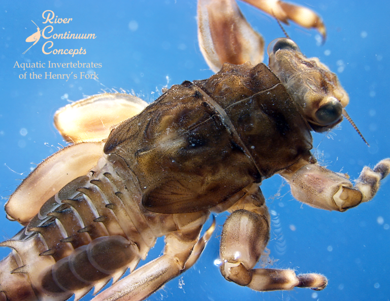
Photo of mayfly nymph.
A Green Drake nymph collected at Osborne Bridge.

The full report, including detailed methods, graphs, tables, and interpretations, is available in pdf format at the link below.

Invertebrate Technical Report_ 2025


Facebook
LinkedIn
Pinterest

Recent Posts

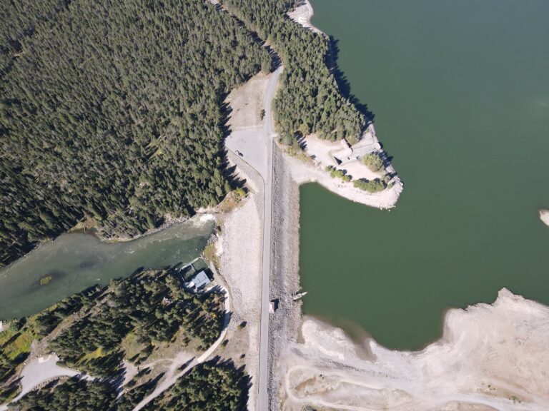
An aerial view of Island Park Dam. The reservoir sits behind it and the river flows below it.
Water Quality
Christina Morrisett

Summer 2026 Water Quality Forecast for Island Park

This article was originally published in Island Park News on May 29, 2026 Ice melted on Island Park Reservoir on March 31, 2026—four weeks earlier than normal and the earliest the Henry’s Fork Foundation (HFF) has observed in 12 years of monitoring. Such an early ice melt was not unexpected given the region’s near-record warm and dry winter. But ice melting a month early has implications for water quality in Island Park Reservoir and the

Read More »
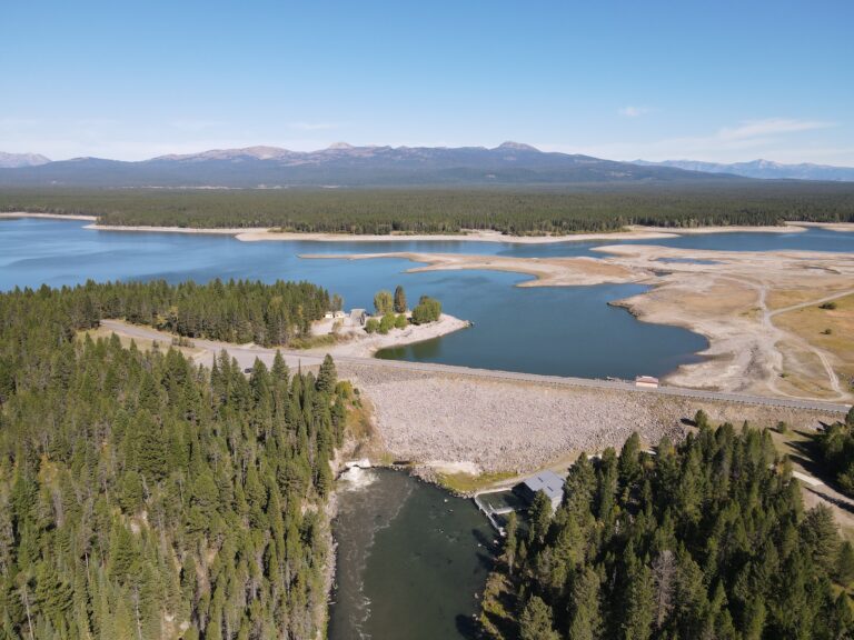
Aerial photo of Island Park Reservoir. The dam is in the bottom left corner. The Centennial Mountain Range is in the top.
Water Quality
Christina Morrisett

History of Water Quality in Island Park Reservoir

Warmer and drier conditions have slowly degraded water quality in Island Park Reservoir over the last 50 years.  In the 1970s and 1980s, federal reports and university research indicate that the reservoir had relatively good water quality. Island Park Reservoir was mesotrophic—with mostly clear water and occasionally low dissolved oxygen at the reservoir’s deepest depths during the summertime. But, as time went on, water quality began to decline. Historical satellite imagery analyzed by the U.S.

Read More »
A photo taken of Island Park Reservoir while standing on the dam and looking north. The sky is cloudy, Mt Sawtelle sits with little snow in the background, and the reservoir is open water (save for a few small sheets of ice in the distance).
Water Quality
Christina Morrisett

Reservoir Ices Off, Growing Season Turns On

Photo of an ice-free Island Park Reservoir taken on March 31, 2026 On March 31, 2026, with no accompanying commentary, HFF scientist Christina Morrisett stood on top of Island Park Dam and texted colleagues Rob Van Kirk and Jack McLaren photos of open water on Island Park Reservoir. Rob, eager to see that the reservoir reality matched what he was seeing in the real-time river data downstream, texted back, “Yep! That’s close enough to ice

Read More »
Photo of confluence of Warm River and Henry's Fork
Water Quality
Rob Van Kirk

Water Supply and Water Quality Predictions for Summer 2026

The photo above captures the unprecedented situation we face at the beginning of April. The photo, of the confluence of Warm River and the Henry’s Fork, was taken on February 7 and shows the shocking lack of snow we experienced in the watershed all winter as a result of record-breaking warm temperatures. How will the warm winter and lack of snow affect water supply, water quantity, and fisheries? The highlights are below. If you want

Read More »