Do I need an invasive species sticker?
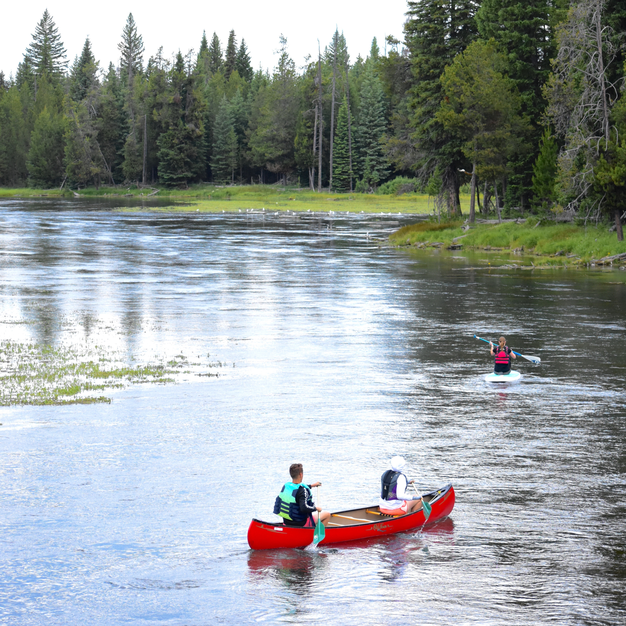
Idaho law requires the owner of any boat or non-motorized vessel to buy and display an Idaho Invasive Species Fund sticker to legally launch and operate the vessel within the state of Idaho. This requirement includes motorboats, jet boats, canoes, kayaks, rafts, and drift boats. Inflatable, non-motorized vessels less than 10-ft in length are exempt. These laws apply to resident and non-resident boaters. Non-compliance could result in penalties listed in I.C. § 67-7033.
You can purchase Invasive Species Fund stickers online, at any Idaho State Park, and at select retail locations. More information available at: https://invasivespecies.idaho.gov/invasive-species-sticker-faqs
The Invasive Species Fund is managed by the Idaho Dept. of Agriculture. The Invasive Species Fund stickers are administered by the Idaho Dept. of Parks and Recreation. Invasive Species Fund sticker compliance is enforced by county law enforcement officers.
Do I need to register my watercraft?
Idaho residents are required to register boats in Idaho within 15 days of purchase. Water vessels with a motor of any kind and any vessel that is being financed must be titled with a registration number. Titling is optional for vessels acquired before January 1, 2000. Vessels that are not powered by motor and cannot be titled are exempt. These include rowboats, canoes, kayaks, drift boats, rafts, sailboats, inflatables, and others.
Boat registration from other states is valid in Idaho for 60 consecutive days. Out-of-state boaters are required to purchase an Invasive Species Fund sticker and all boaters entering Idaho and passing a boat inspection station must stop for inspection.
Boat registration is outlined in the Idaho Safe Boating Act (Title 67 Chapter 70). Compliance is enforced by county sheriffs and any other law enforcement officer within Idaho, such as state or national park officers within their parks of jurisdiction.
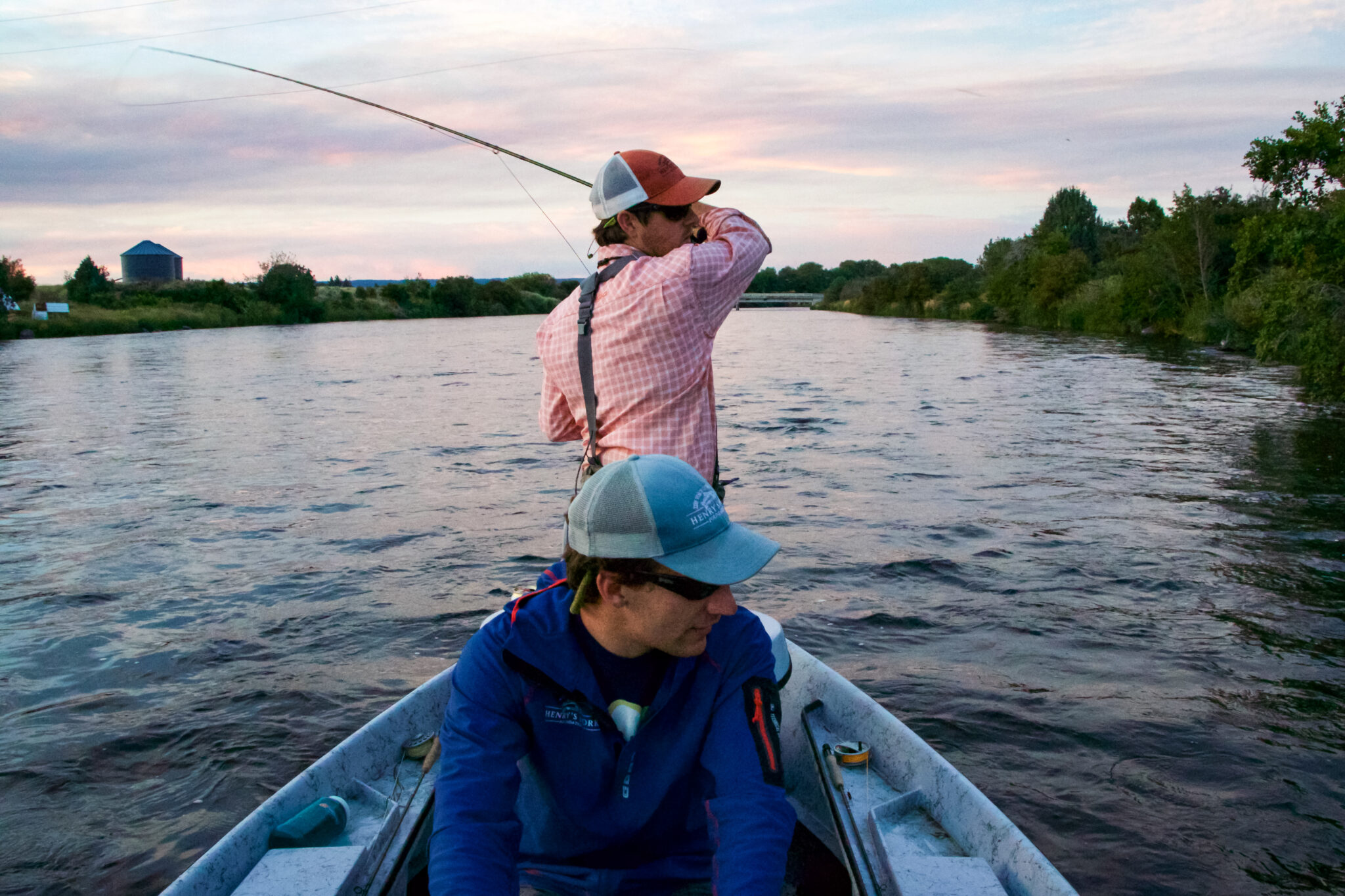
How many fishing guides can be on the river?
In the Henry’s Fork region, there are 8 river and lake sections that outfitters have licenses to operate on. Each river section is further separated into individual river reaches. For the Henry’s Fork alone, there are three river sections. They are licensed as follows:
- Section 1: Henry’s Lake outlet to Hatchery Ford (4 reaches)
- 7 licensed outfitters are each allowed a maximum of 3 boats/reach and 8 boats/section.
- Across all outfitters, there are 21 total possible boats/reach/day and 56 total possible boats/section/day.
- Section 2: Mesa Falls to St. Anthony (4 reaches)
- 8 licensed outfitters are each allowed a maximum of 3 boats/reach and 8 boats/section.
- Across all outfitters, there are 24 total possible boats/reach/day and 64 total possible boats/section/day.
- Section 3: St. Anthony to Menan Boat Access (3 reaches)
- 3 licensed outfitters are each allowed a maximum of 3 boats/reach and 4 boats/section.
- Across all outfitters, there are 9 total possible boats/reach/day and 12 total possible boats/section/day.
Commercial fishing guides and outfitter licenses are regulated by the Idaho Outfitters and Guides Licensing Board.
Which agency has the authority to regulate river recreation?
In Fremont County, river access sites have various jurisdictions—including the U.S. Forest Service, Fremont County, and Harriman State Park. In terms of river use, the Safe Boating Act provides authority to local counties to regulate waterways within their territorial limits (I.C. § 67-7031). Counties in Idaho can regulate those launching on their waterways through ordinances and county code.
For example, Franklin County Code § 93.02 restricts all types of watercrafts and fishing from Winder Reservoir. In Bonneville County, Ordinance No. 240-21 sets no wake zones on its waterways and two of its main reservoirs. In Teton County, Code Title 14 limits group size, requires parking passes for river-adjacent parking lots, and controls commercial watercraft rental companies via permitting. In Fremont County, Ordinance 2011 created restricted geographic zones that limit or entirely ban motorized watercraft.
Click here for a downloadable copy.