This information was first published in an HFF blog by Christina Morrisett and Rob Van Kirk in 2015.
When does the river freeze?
As far as timing, in November-January, when the sun angle is low and the days are short, the river will freeze when low temperatures are in the single digits and daytime highs are below 20, in other words, extended periods of time with air temperatures between 0 and 20. Of course, it will freeze in a matter of hours if temperature drops well below zero quickly. Once we get a week or so into February, it takes colder temperatures to keep the river frozen because the sun angle is higher and the days are longer.
On average, for the greater Ranch (Harriman State Park) reach, surface ice tends to start forming around Thanksgiving as a broad rule of thumb.
What are the different ways a river can freeze?
The physics of ice formation and its effect on habitat conditions are complex, but here we will just briefly discuss three kinds of ice.
1) Surface Ice
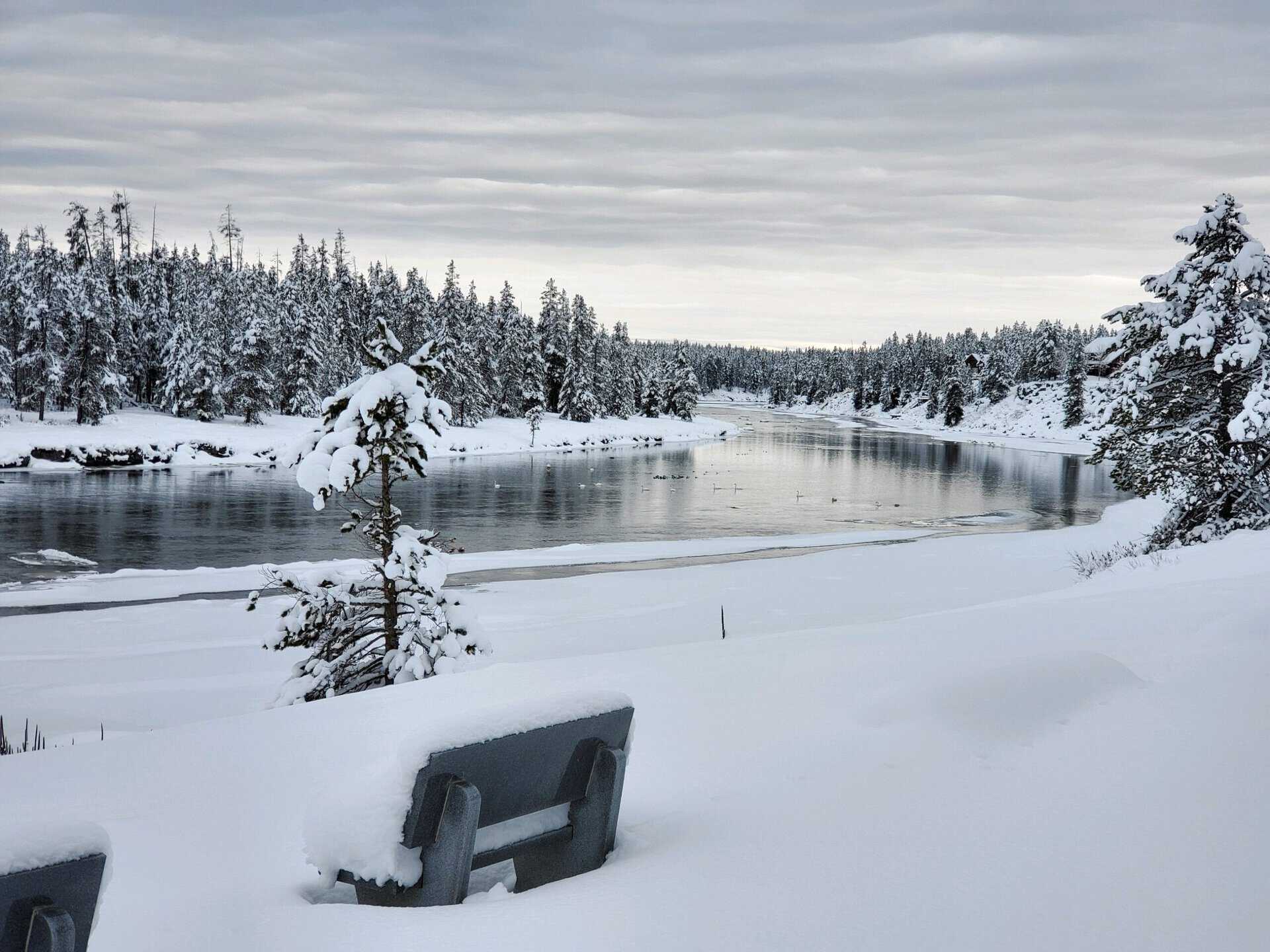
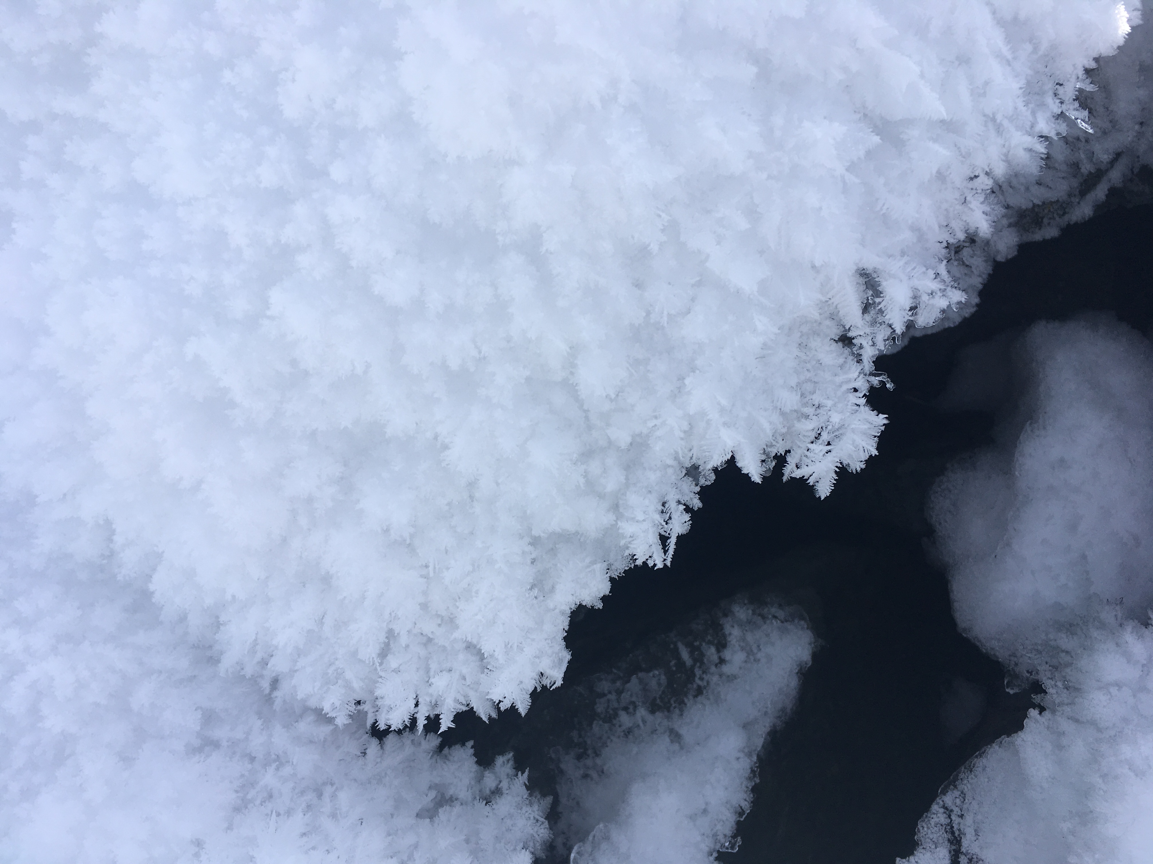
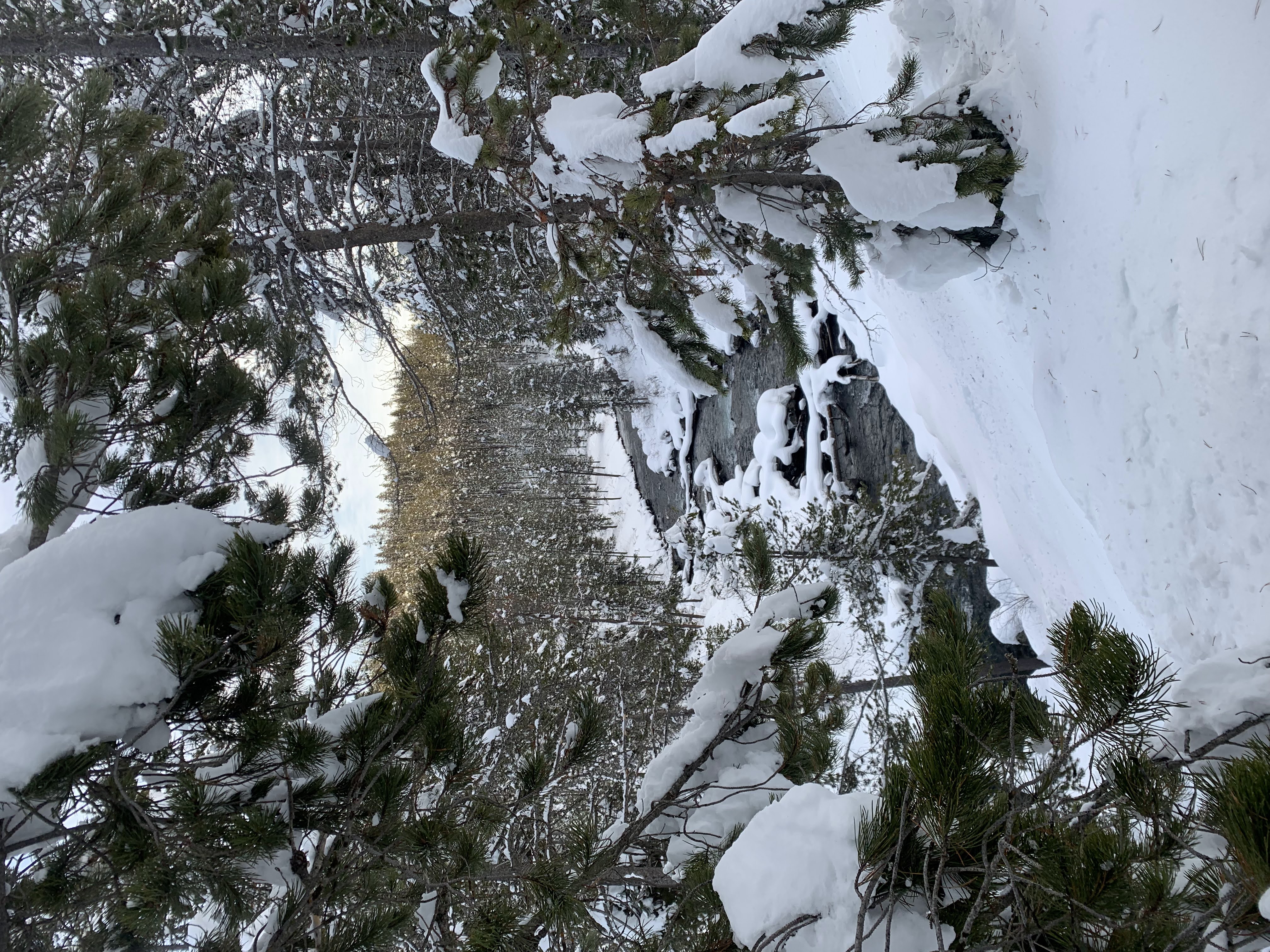
Surface ice is the most common type of ice seen on the Henry’s Fork and other streams in our area. Surface ice generally forms in low-velocity reaches of the river when air temperatures are cold for extended periods. Surface ice frequently forms on the Harriman Ranch and Pinehaven reaches, but can extend upstream through Last Chance. Surface ice also frequently covers all or part of the stream channel on the Henry’s Fork in the Coffee Pot area, upstream from Ashton Reservoir, the St. Anthony area, and the lower few miles of Fall River in winter. Surface ice is also common on reaches of the Madison, Gallatin, upper Snake, South Fork, and main Snake.
Upon initial formation of surface ice, water continues to flow underneath the ice, and in fact, research has shown that trout actually use surface ice as cover from overhead predators. In small streams, snow that accumulates on top of surface ice can bridge the water surface, insulating the water from the atmosphere and providing stable overhead cover during the middle of the winter. In larger rivers, surface ice usually forms and melts in cycles throughout the winter as weather conditions change.
2) Anchor Ice
Anchor ice forms when ice suspended in the water column (frazil ice or “slush”) freezes onto the stream bottom. This type of ice often forms in higher-velocity areas, where turbulence forces frazil ice that has formed at the surface down to the bottom of the stream. Anchor ice has a greater negative effect on available trout habitat than surface ice because anchor ice fills in the spaces among cobble-boulder substrate and woody debris that are preferred by juvenile trout.
3) Ice Damming
Ice damming generally occurs in shallow riffle areas and upstream of natural and artificial constrictions in the river channel. In this phenomenon, the river’s flow is physically dammed by ice in the channel, forcing water over the top of existing ice cover, out of the channel and up onto the floodplain. Ice dams in the Henry’s Fork region frequently form to thickness of 10 feet or more and affect several miles of stream for weeks at a time, until warm weather breaks up the dam and sends large blocks of ice and associated debris downstream. During formation of these dams, large amounts of water is tied up in ice formation, causing river flow downstream to decrease until the dam reaches its maximum extent or breaks up.
Extensive ice dams form every winter on lower Fall River, sometimes filling the channel and floodplain from the Highway 20 Bridge upstream as much as 5 miles. Large ice dams also routinely form upstream from Ashton Reservoir and in St. Anthony. An ice damming event upstream from Ashton Reservoir in the early 2000s physically uprooted dozens of mature cottonwood trees along North River Road (Fisherman’s Drive), washed out a portion of the road, and tore the remaining portion of the deck off of the old bridge at the Ashton Reservoir county boat dock. Another ice dam during that same time period flooded the Salem-Parker Highway and destroyed the bridge over the Henry’s Fork on that road. As you can imagine, trout habitat is minimal to non-existent in reaches affected by formation and break-up of these ice dams. Although localized mortality of trout is probably higher in these reaches during the period of damming, trout move in and out of these reaches according to habitat conditions and weather.
The basics of winter trout ecology
Trout are what biologists call poikilotherms or ectotherms, meaning that trout cannot regulate their own body temperatures. Thus, their body temperature and metabolic rates are determined by water temperature. Because of this, trout become most stressed when temperatures are at their extremes—very cold or very warm. Ice formation is a regular feature of seasonal cycles in habitat characteristics in most trout streams in high latitudes and high altitudes, and trout have evolved with this phenomenon.
As water temperatures cool, a trout’s metabolism slows and it becomes less active. Smaller fish are affected first, becoming fairly inactive when water temperatures fall into the 40s (Fahrenheit). Larger fish will remain more active in cooler water, but eventually will become less active as water temperatures fall into the 30s. When this happens, trout need very little food, which is a good thing, since food availability declines substantially during the winter. On the other hand, slow metabolic rates mean that fish cannot move quickly to avoid predators or rapidly changing flow and habitat conditions like they can in the summer. Despite the fact that many common avian (bird) predators migrate away from cold climates in the winter (e.g., osprey), numerous bird and mammal predators remain present and active throughout the winter in the Rocky Mountains.
How does ice affect trout?
To minimize their vulnerability to predation and to rapidly changing flow conditions, trout move out of preferred summer-time feeding areas and to favorable winter habitat conditions during fall, as flows fall toward their winter baseflow levels, temperatures drop, and the last major insect hatches of the autumn wane. Adult trout seek slow, deep pools that contain large cobbles and boulders. Juvenile fish seek spaces within cobble-boulder substrate and spaces formed by woody vegetation and rocks along streambanks. Trout of all ages will also seek areas of the river where groundwater inputs moderate winter water temperatures and prevent ice formation.
In many trout streams, particularly those with abundant food supply and good spawning and rearing habitat, the amount of habitat available during the winter sets the carrying capacity for the fish population as a whole. This is what is called the “limiting factor” on the population.
What does life look like for trout in winter?
The winter ecology of rainbow trout in the Henry’s Fork has been thoroughly studied; in fact, much of the broader scientific literature on winter trout ecology was generated by research here on the Henry’s Fork. Dr. Jack Griffith and his graduate students studied winter trout ecology on the Henry’s Fork in the 1980s and 1990s. Other researchers have continued to add to that substantial body of knowledge since then. Although initially focused on summer habitat use, our recent research on seasonal habitat availability in the Ranch has provided a large amount of data complementing the winter research to explain how rainbow trout in the Henry’s Fork navigate large seasonal changes in habitat available to them in the reach between Island Park Dam and Riverside Campground.
- Rooted aquatic plants (macrophytes) provide the vast majority of physical habitat for trout between Last Chance and Pinehaven. Regardless of flow or weather conditions, this habitat is present only from early June through early November, with some variations in quality, quantity and duration depending on sunlight and nutrient availability during a given growing season.
- Fish move into areas dominated by macrophytes in June and move out in November. Very few juvenile trout persist through the winter in the Ranch and Harriman East under any weather or flow conditions. The few adult trout that remain in this reach during the winter are concentrated in a few deep pools and in areas where springs keep water temperatures warm.
- Adult trout will persist in the transition reaches at Last Chance and Pinehaven later into the fall and return earlier in the spring than in Harriman proper, depending on local habitat conditions and insect hatches.
- Once in winter locations, trout of all ages move very little between mid-November and the onset of spawning migrations in late February.
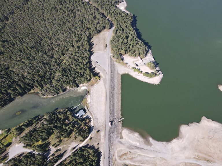
- Mid-winter water temperatures in Box Canyon are much warmer than in other reaches of the river because of the influence of the spring-fed Buffalo River and thermal stratification in Island Park Reservoir. This latter situation occurs because water is delivered from the bottom of the reservoir, and water is most dense at 39 degrees Fahrenheit. This means that water coming out of the dam during the winter is 39 degrees, compared with 32 degrees for water coming into the reservoir.
- The population of wild rainbow trout in the upper Henry’s Fork (general Island Park area) is limited by winter habitat for juvenile fish.