Highlights:
- The lower river between St. Anthony and Parker is an important summer management lever for Island Park Reservoir. The Drought Management Planning Committee (DMPC) aims to send water downstream in a way that meets irrigation demand and keeps flow above certain target.
- On-river research by HFF’s Christina Morrisett and Rob Van Kirk identified changing the target to 350 cfs at Parker would benefit lower river and upper river needs for farms and fish. DMPC adopted new target in 2020.
- This new target has benefited kokanee salmon and rainbow trout recruitment in the upper river, as well as saved water in Island Park Reservoir!
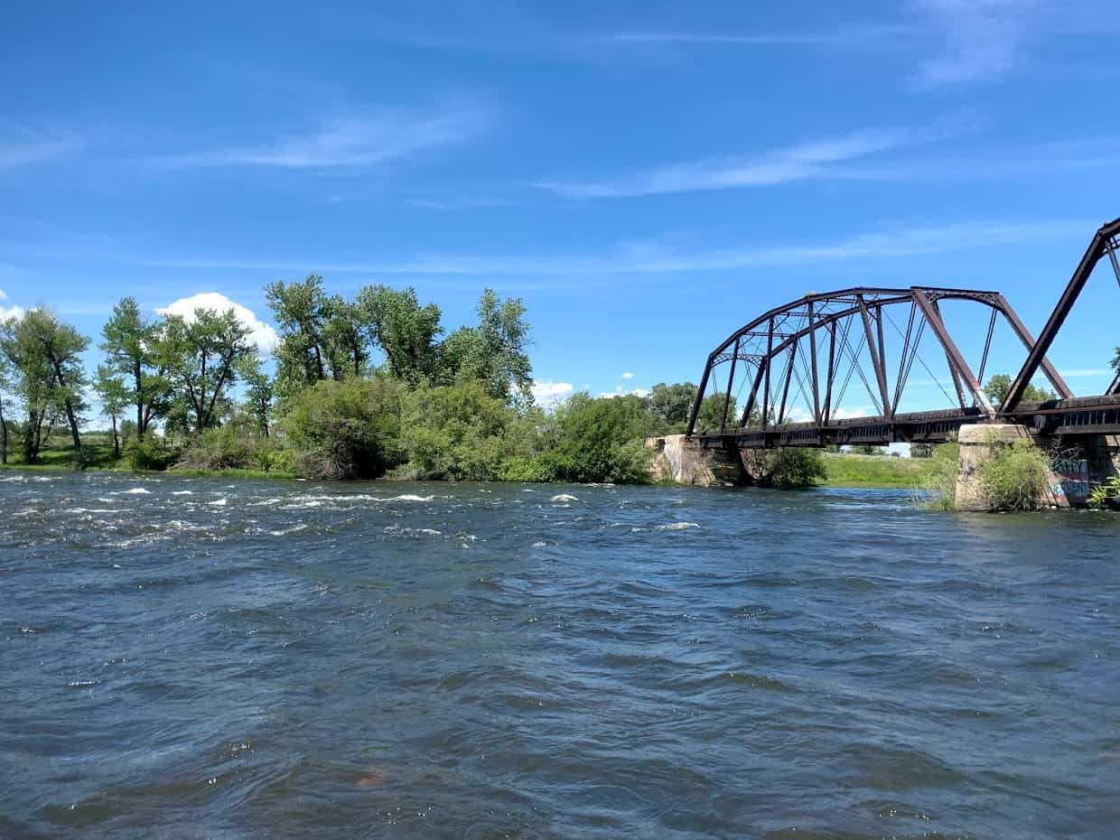
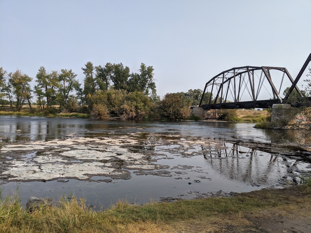
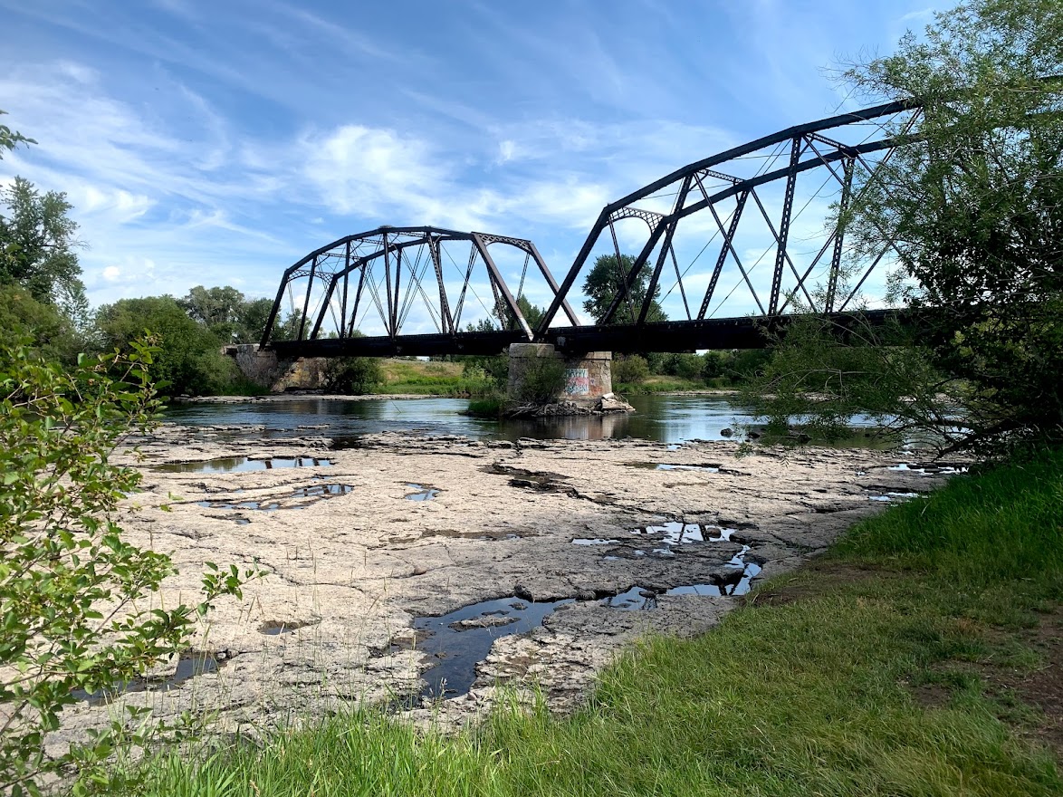
The Lower River Lever
The “lower Henry’s Fork” means a lot of things to a lot people. Some folks think of the lower river as anything downstream of Mesa Falls. For others, the lower river refers to the reach between Ashton and Fun Farm. For watershed management, the lower Henry’s Fork is even further downstream: St. Anthony to Parker (Red Road Bridge).
Why care about the lower Henry’s Fork? Well, if you can believe it, it’s a major lever for how the Henry’s Fork Drought Management Planning Committee (DMPC) approaches summertime management of Island Park Reservoir. The lower Henry’s Fork is home to four major irrigation canals that can divert up to 800 cfs during peak summer demand, usually in mid-July. To make sure the river meets irrigation demand while also leaving enough flow to keep the river wet for fish, the DMPC recommends that an “irrigation-season streamflow target” guide drawdown (or draft) of Island Park Reservoir. So, if you’re fishing in the Box or on the Ranch in the summer and wondering why flow is what it is—it’s likely to meet the downstream target to satisfy both farms and fish.
You may know of this target as “1000 cfs at St. Anthony.” And, it was. The DMPC was established in 2003 and used the “1000 cfs at St. Anthony” rule through 2019. This 1000-cfs target was created using formal stakeholder input and was placed at the USGS streamflow gage at St. Anthony. This gage sends data to a website where it is available in real-time at 15-minute intervals. That’s incredibly helpful—and convenient—for real-time management of Island Park Reservoir upstream.
But the 2016 drought highlighted how impactful this lower Henry’s Fork target is. Keeping the lower river wet came at the expense of saving water in Island Park Reservoir. And we’ve learned just how important those water savings can be (ex. kokanee salmon fishery, water quality, winter flow). So, I was brought on as a PhD student in Fall 2018 to figure out: How low can we go? Or, more scientifically: What should the lower river target actually be?
 Line illustration of lower Henry’s Fork. Flow moves downstream from St. Anthony to Parker (~7 miles). EG = Egin Canal, AF = St. Anthony Union Feeder Canal, IN = Independent Canal, CF = Consolidated Farmers Canal
On the River Research
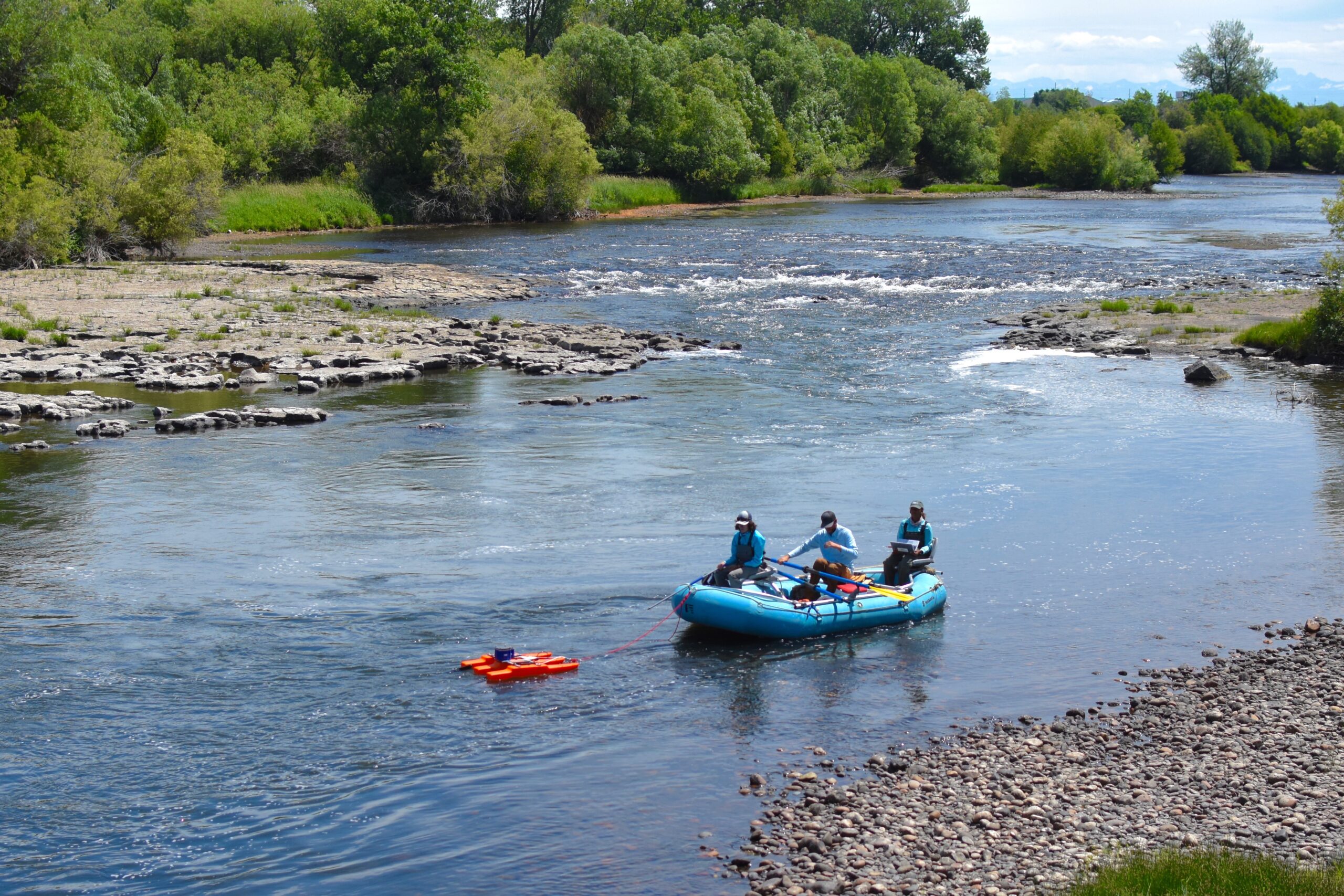
I got on the river in Summer 2019 and floated Cemetery to Railroad and Railroad to Parker 2-3 times per week. It quickly became apparent that 1000 cfs at St. Anthony was not cutting it. This streamflow target, while convenient, did not account for the diversions immediately downstream. In fact, Rob, an intern, and I measured a 219 cfs streamflow at Parker—downstream of all diversions—on July 16. It was shocking, to say the least, but incredibly informative. Thankfully, we never saw flows that low again. But as the summer continued, we noticed a change in river character when flows downstream of Railroad (Trestle) fell below 350 cfs. Colgate intern, Ashly Loibman, documented cool groundwater springs in the reach (more here) and we noticed that we lost connectivity to these springs below 350 cfs as well. A feeling isn’t quite enough, so Rob did the math and found that 1) changing the target to 350 cfs and 2) moving it downstream to Parker wouldn’t really change Island Park management too much. The same volume of water would likely be sent downstream, but the timing of its distribution would change.
So—using HFF’s science-based, collaborative management approach—we pitched it to the DMPC. We pitched changing the target from 1000 cfs at St. Anthony to 350 cfs at Parker to account for diversions. The DMPC agreed to try it on a trial basis in 2020. But since there isn’t a streamflow gage at Parker, calculating flow in real-time isn’t super convenient. So Melissa Muradian (HFF Water Quality Data Consultant) created a website that retrieves USGS streamflow data at St. Anthony and USBR data on downstream diversions to show real-time and predicted flow at Parker. No bookmarked webpages or calculators needed!
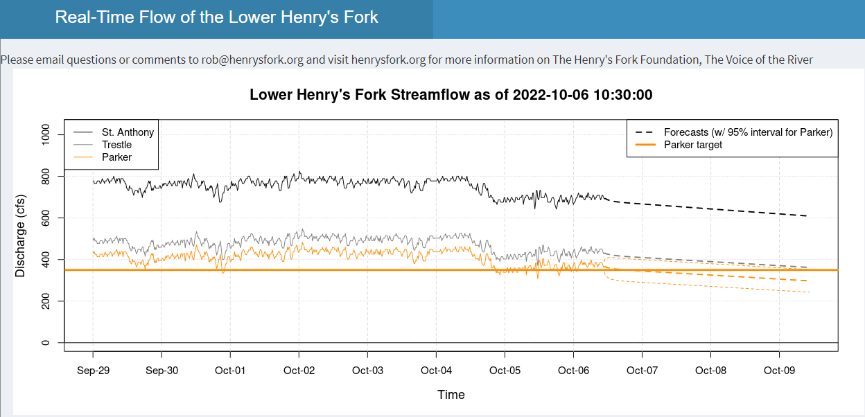 Screenshot of the lower Henry’s Fork streamflow website created by Melissa Muradian, HFF Water Quality Data Consultant
Research Impact
The 350 cfs target at Parker has been the default operating strategy since 2020. In the lower river, this new target has minimized summer flow variability, provided more stable summer habitat for fish, and maintained connectivity to groundwater streams that provide cool water to the river during high temperatures. It has also contributed to water savings in Island Park, increasing end-of-season reservoir storage by 1,226 acre-ft in 2020 and 2,400 acre-ft in 2021—two below average water years!
These water savings:
- Allowed earlier fill of Island Park Reservoir
- Increased the kokanee fishery upstream of Island Park Reservoir (3.3% in 2020 and 6.5% in 2021)
- Increased Box Canyon trout recruitment (+5 cfs winter flow and 30 Rainbow Trout in 2020; +10 cfs winter flow and 60 Rainbow Trout in 2021)
- Benefited water quality
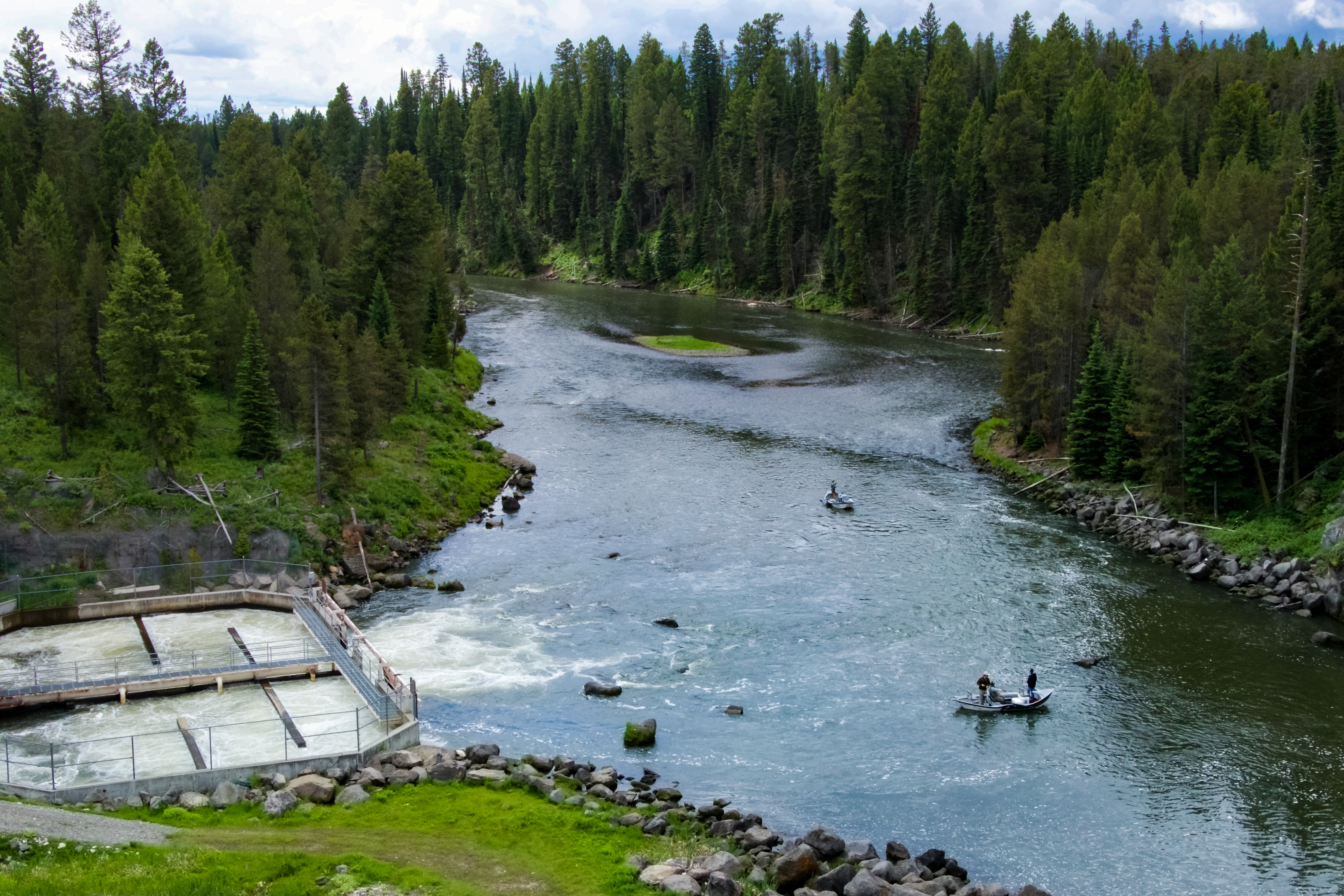
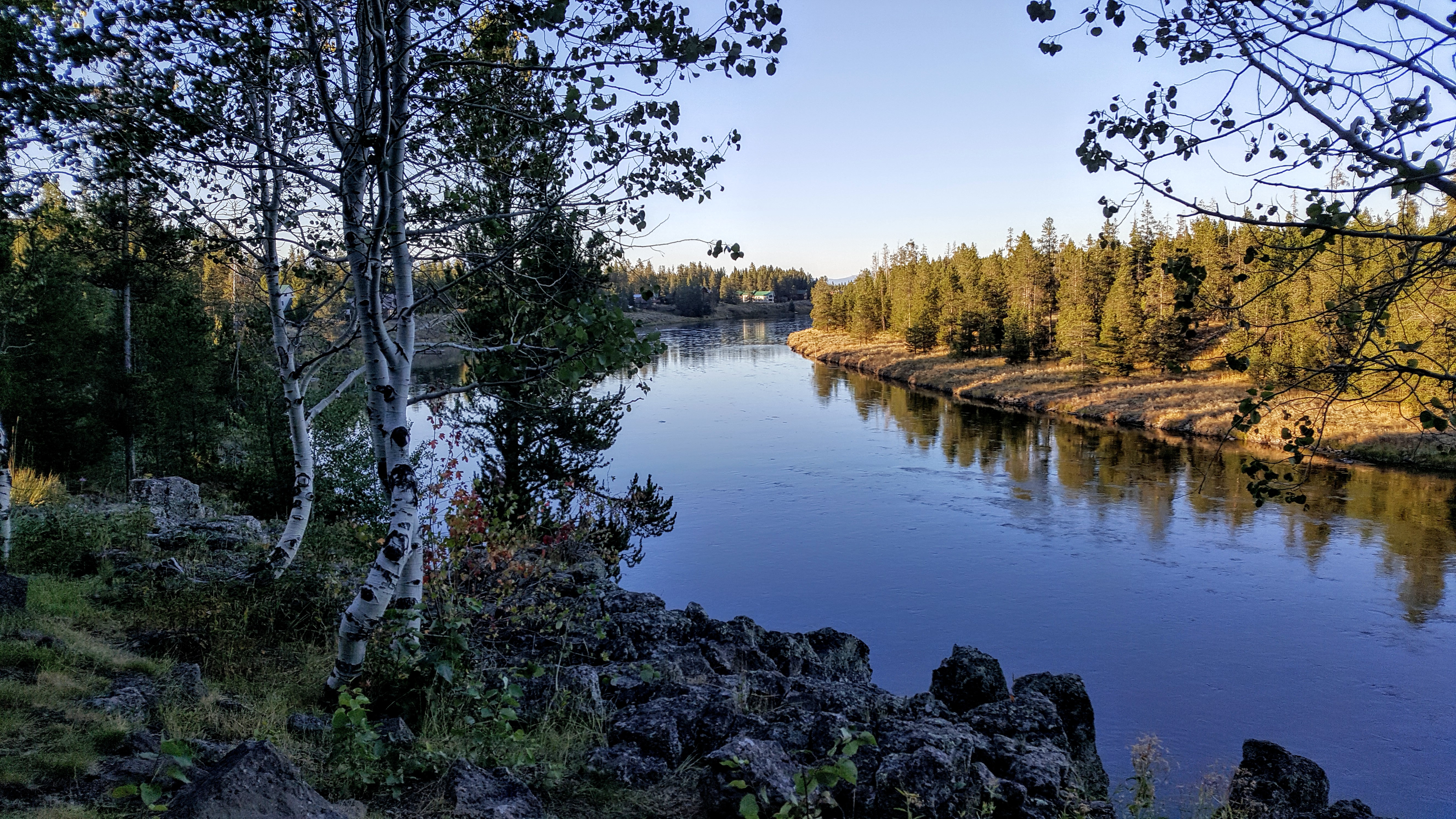
Stay tuned for some ~behind the scenes~ action on what the 2019-2021 fieldwork looked like for this endeavor. But in the meantime, I would like to thank Fremont-Madison Irrigation District for lending HFF an Acoustic Doppler Current Profiler (ADCP) to measure streamflow, as well as the many staff, interns, and volunteers who helped me collect the data needed to make this streamflow target recommendation.
This work was funded by the Local Highway Technical Assistance Council, Fremont County Idaho, a U.S. Bureau of Reclamation WaterSMART Applied Science Grant, National Science Foundation grant no. 1633675, and the Henry’s Fork Foundation. Field technicians were supported by the Admiral James Green Scholarship at Colgate University (2019 recipient: Ashly Loibman), the Don C. Byers Memorial Scholarship through the Henry’s Fork Foundation (2020 recipient: Margaret Ruebush), and an internship fund at St. Lawrence University (2021 recipient: Erik Sauer).